Agriculture
Territorial Intelligence
at scale.
One workspace. Multi territory. One source of truth.
One platform to watch, analyse, decide and act on every hectare. Satellites, sensors, asset records, and AI unify forests, agriculture, field ops, and compliance.


The intelligence layer behind every territory.
Data from space, air, field operations and regulatory systems is continuously fused into a single operational model, creating a trusted and auditable view of the territory.
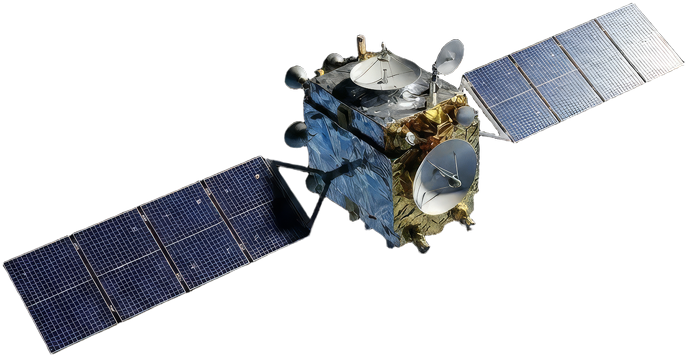
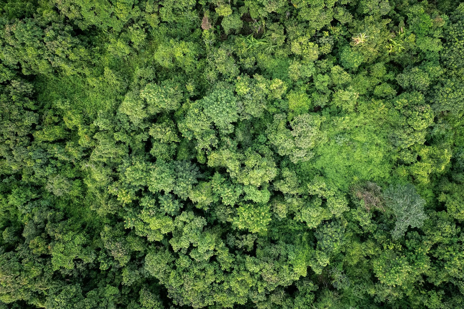
Multispectral imagery, vegetation health, carbon stock monitoring and wildfire detection.
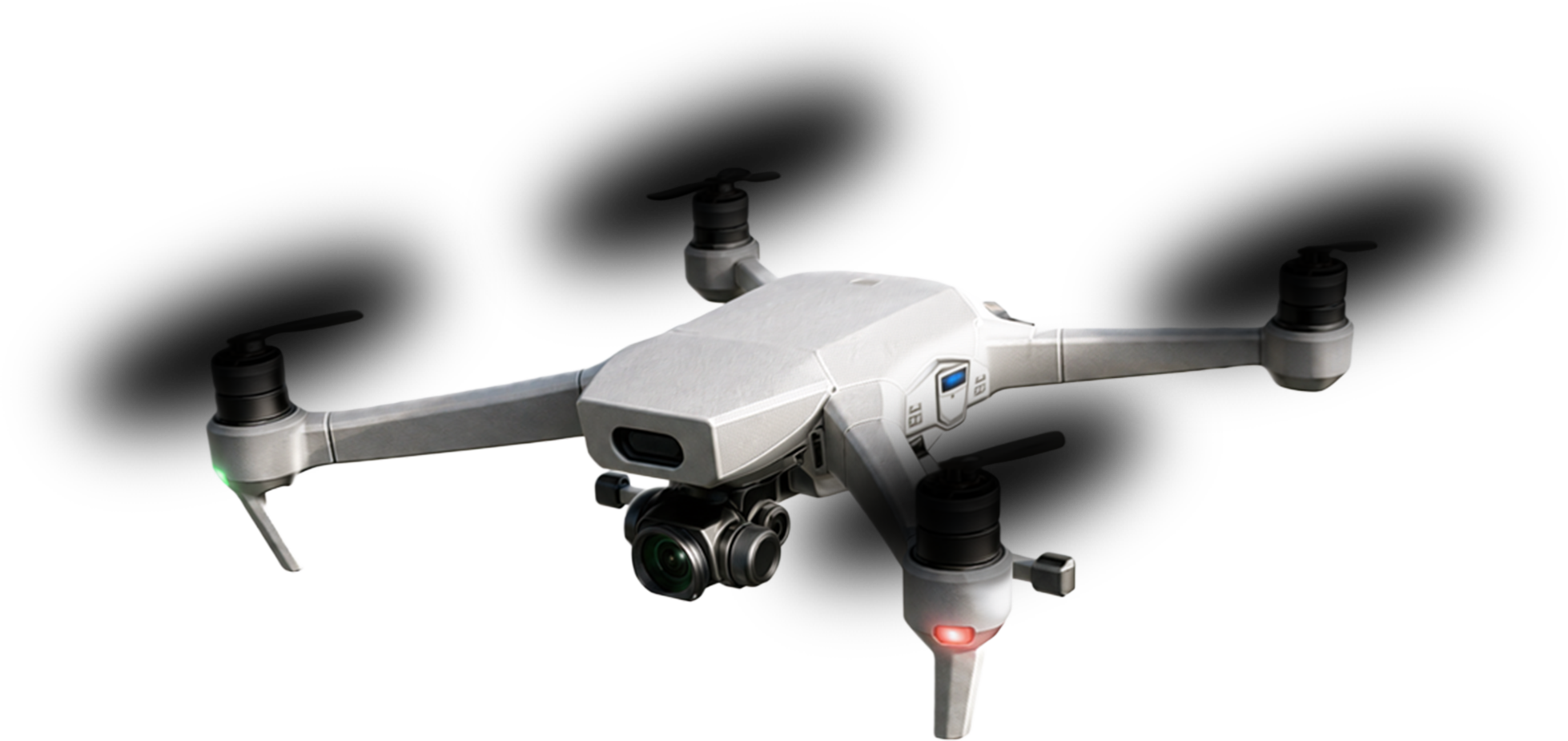
High-resolution mapping, thermal analysis and asset verification.
GeoTokens, inspections, inventories and operational records collected at source.
Government databases, weather intelligence, compliance frameworks and carbon registries.
Fuses every data source into a continuously updated territorial record, automating analysis, verification and operational workflows.
Detects anomalies, anticipates risk and surfaces the changes that require attention.
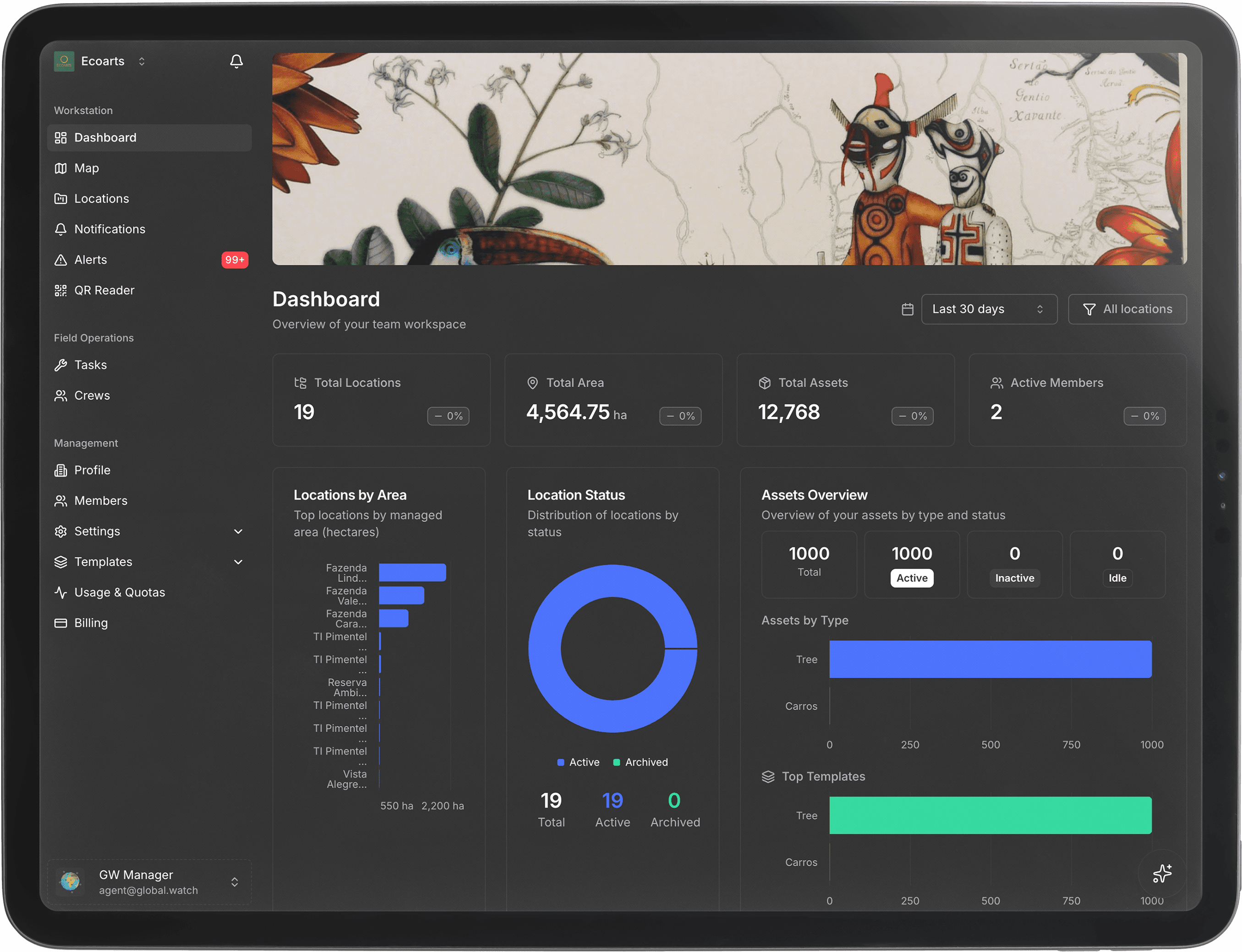
Coordinate operations, field activities and compliance workflows from a single workspace.
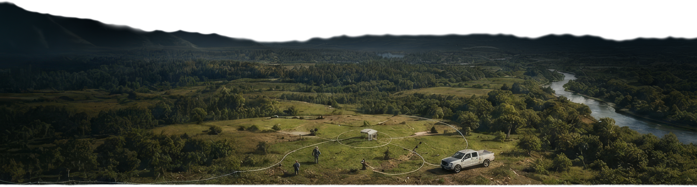
A live territorial view combining assets, risks, environmental change and operational intelligence.
Capture inspections, inventories and field records directly at source, online or offline.
Connect enterprise systems, sensors and external intelligence through open APIs.
One infrastructure across markets. Use it as your needs.
Primary territorial data for any land area subject to regulatory, audit or investment requirements.



Take control of your territory
Start monitoring today with satellite intelligence, AI analytics, and field operations — all in one place.
No credit card required
Cases
Across forestry, agriculture, operations, energy and so on, GW cuts response times, reduces losses and keeps operations compliant.

14,000 trees, 45 kilometres, one auditable record
Next Mobilidade registered every native tree across a São Paulo metropolitan corridor — individually georeferenced, tracked for carbon stock and included in Brazil's national urban climate initiative mapping.
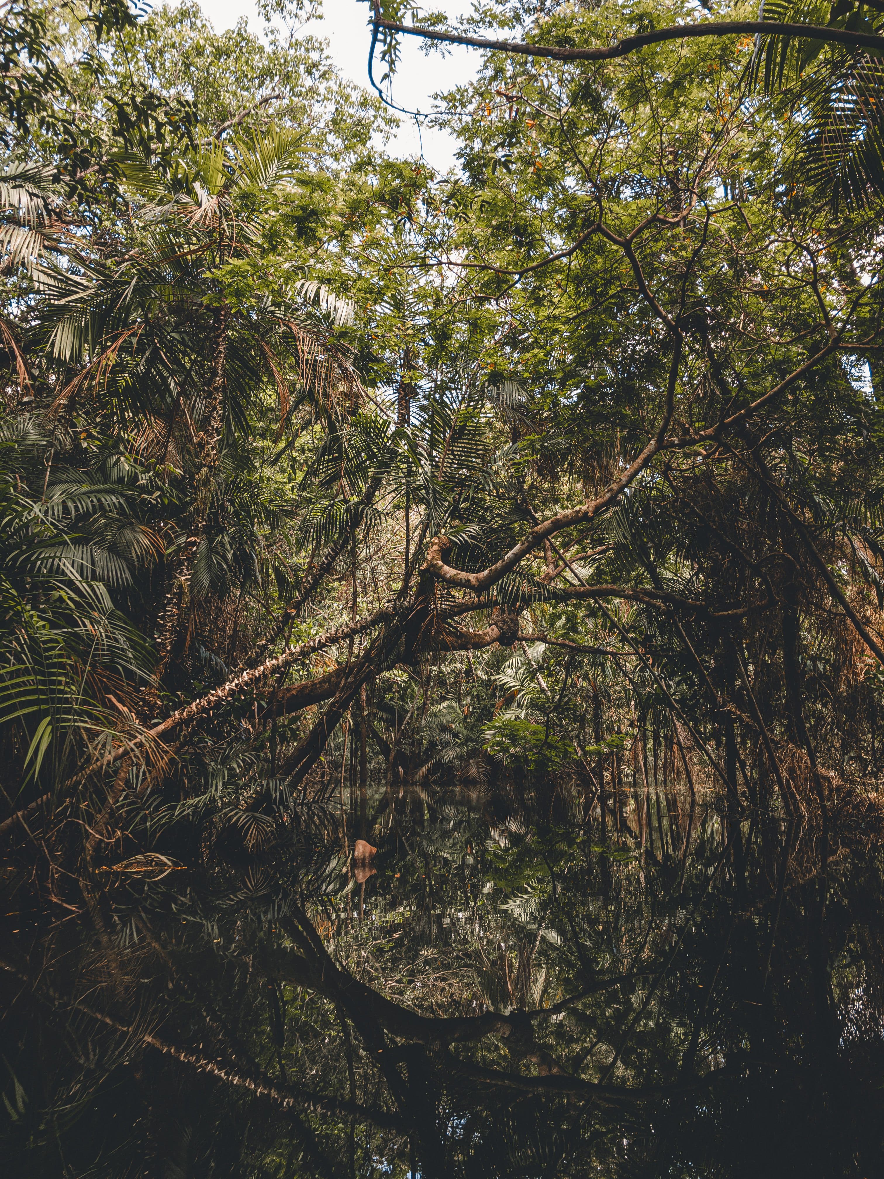
Forest assets individually registered, monitored and verified.
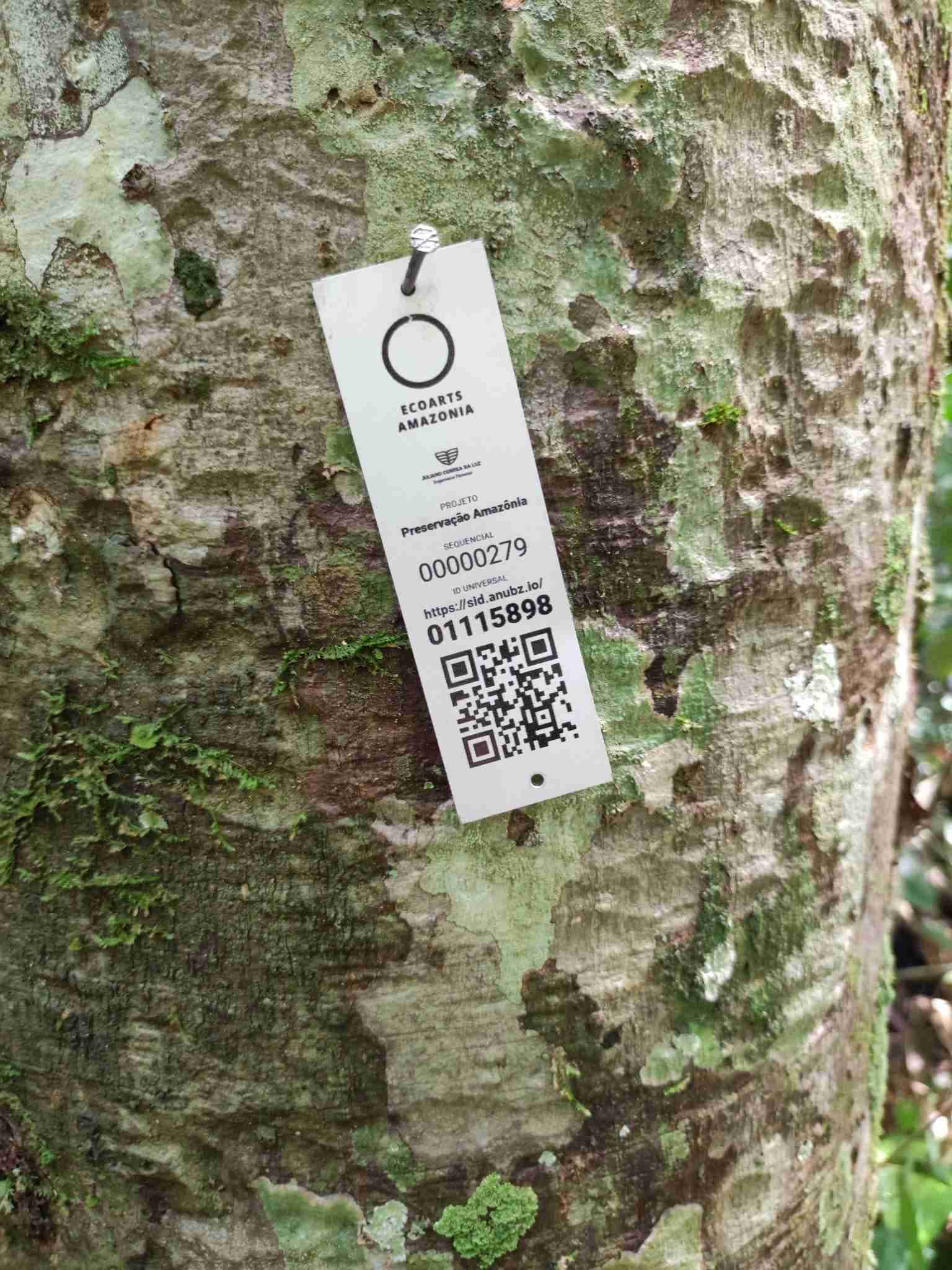
EcoArts Amazônia uses Global Watch to register and monitor native Amazonian species individually — producing auditable records for restoration, carbon stock and regulatory compliance across private land in Mato Grosso
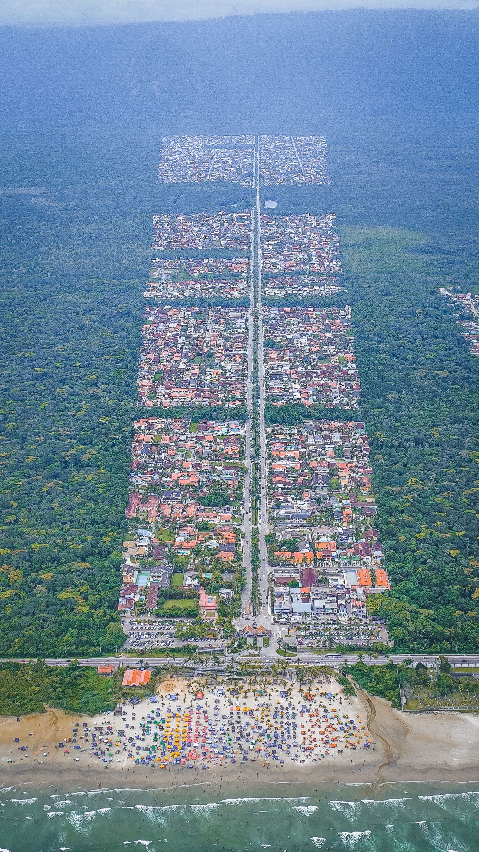
14,287 ha under continuous satellite monitoring.
Primary data for carbon asset certification within the PEVEM environmental programme. Field traceability and regulatory verification integrated.

700 trees preserved per edition in the Amazon Forest
Each ticket links one participant to one individually registered tree in the EcoArts reserve — georeferenced, satellite-monitored and accessible by QR code for twelve months.
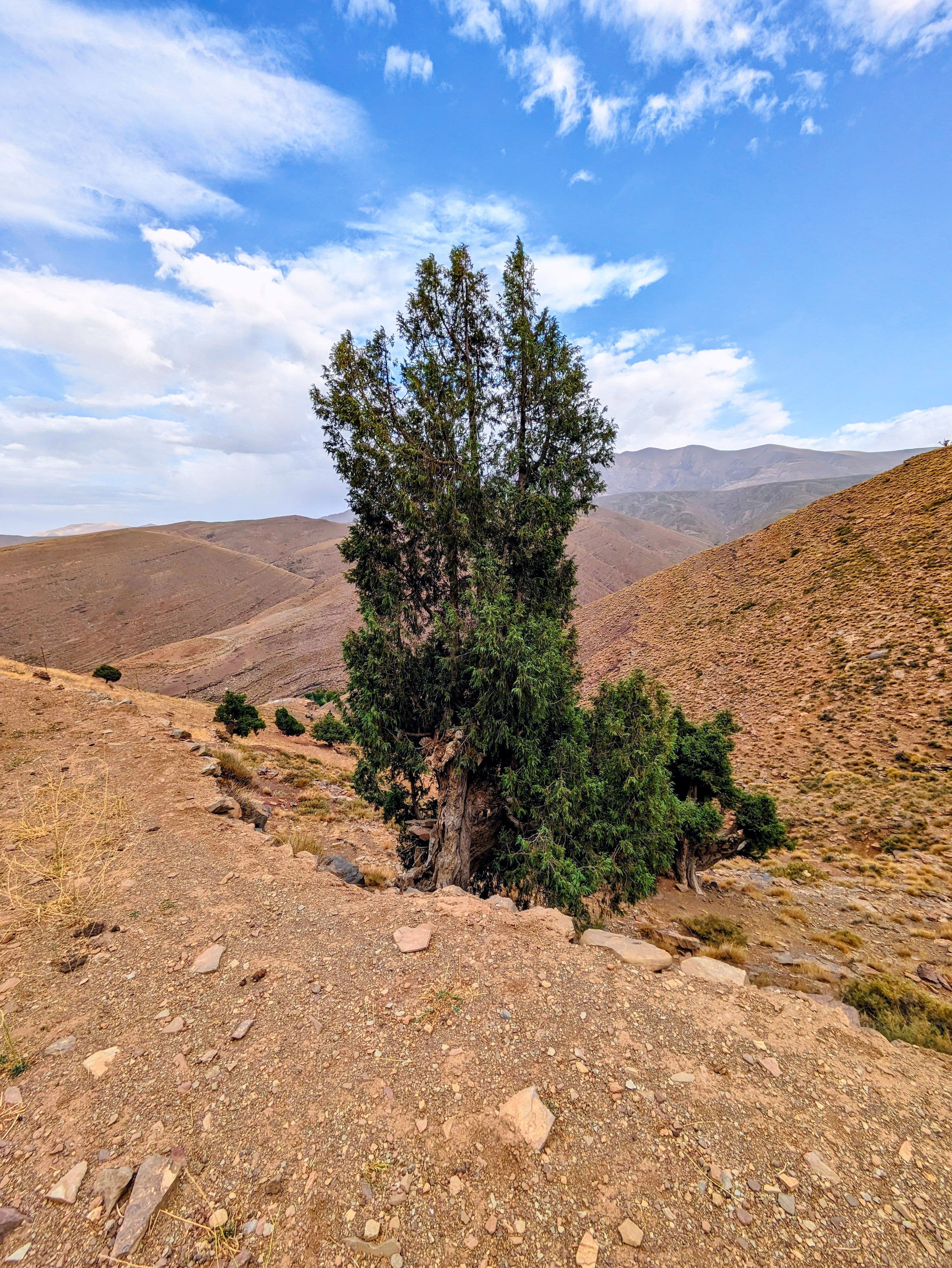
49,549 hectares across 292 locations under continuous monitoring.
Al Ain Forestry and Landscape Services tracks forest assets across the Al Ain region with Global Watch — field records, plant health data and satellite coverage across nearly 50,000 hectares.
Get started in 3 steps
From first login to full oversight in under five minutes — no training required.
50+ features. 7 domains.
One territorial workspace.
Browse the full capability catalog — satellite indexes, field workflows, live fleet tracking, 3D map layers, asset records, and audit-ready governance.
Workspace Chatbot
Full-context conversational assistant across your workspace — assets, forms, reports, and team data.
Map Chatbot
Ask the map. Spatial queries answered in natural language, grounded in your live geodata.
Analytics — Indexes
Composite operational indexes that turn raw signal into actionable scores.
Analytics — Trends
Time-series across every layer — vegetation, water, fleet, crews — with anomalies surfaced.
Analytics — Insights
AI-curated discoveries that surface before you ask. The why behind every metric shift.
Analytics — Recommendations
Suggested next actions, ranked by impact and operational feasibility.
Platform performance insights
Real numbers from real operations — the impact our platform delivers every day.
hectares monitored on the platform
parameters powering our AI
teams registered on our platform
customer satisfaction over the last year
Client Journeys
Inspiring tales of bold companies thriving with us.
ECOARTS uses Global Watch to monitor reforestation and restoration projects, turning every planted hectare into verifiable, audit-ready impact.
Trusted, covered, and shared
Coverage and conversations about Global Watch across newsrooms and social feeds.

Global Watch monitors deforestation in real time across the Amazon
Featured report on satellite-driven forest intelligence.

AI-powered fire alerts cut response time by 60%
Field crews coordinate from a single live map.

Fire detected. Alert sent. Crew dispatched.
End-to-end response captured in under 4 minutes.

Satellite verification arrives for carbon markets
MRV-grade evidence at scale, every hectare auditable.

Adopt a hectare. Watch it thrive.
Live feed from a sponsored reforestation plot in the Atlantic Forest.
World wide, from rainforest to deserts.
Global Watch supports conservation teams, park administrations and private forestry operations across every territory and climate zone. Continuous satellite monitoring, individual asset registration and near real-time threat detection produce verified, audit-ready, with data-driven insights and instant threat response.
100+ organisations · Brazil · Portugal · United Arab Emirates
Book a demoMonitor your territory with satellite intelligence

© 2026 Global Watch. All rights reserved.
Brazil - Portugal - UAE